
NEW!: SRT Ride Guides
Plan Your Ride. Explore the Trail. Discover What’s Along the Way.
The Schuylkill River Trail is more than a path from one place to another. It connects communities, historic sites, parks, businesses, and destinations throughout the Schuylkill River corridor.
Schuylkill River Greenways is creating a series of six pocket-sized SRT Ride Guides that, together, will cover the entire Schuylkill River Trail.
Designed for first-time visitors and longtime trail users alike, each handy guide combines a detailed trail map with the information you need to plan your ride and explore beyond the trail itself. You’ll find trailheads and amenities, mileage and trail surfaces, points of interest, Trail-Friendly Businesses, food and lodging, connections to other trails, and detailed waypoints with latitude and longitude coordinates.
Whether you’re heading out for a few miles, spending a full day on the SRT, or planning a multi-day adventure, the Ride Guide pocket maps can help you decide where to start, where to stop and what to discover along the way.
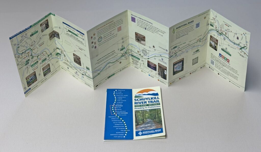
Two Sections Available Now
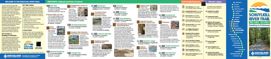
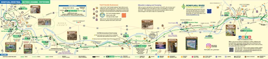
Section 3: Reading to Pottstown
Explore 19 miles of paved and hard-packed gravel trail connecting Reading and Pottstown, with scenic river and bridge crossings and access to communities including Birdsboro and Douglassville.
[Download the Reading to Pottstown Ride Guide (PDF)]
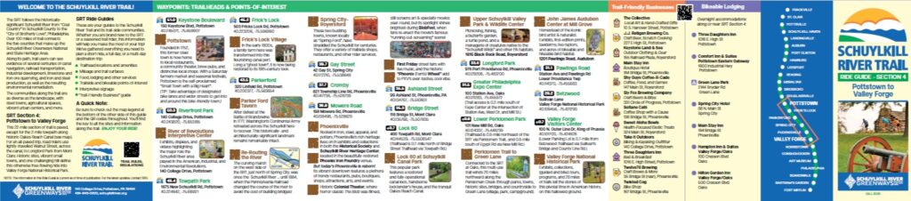
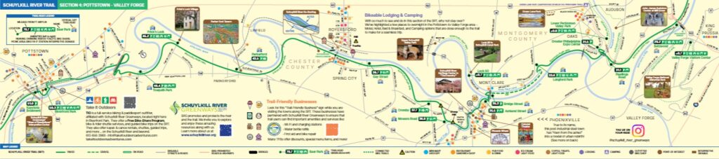
Section 4: Pottstown to Valley Forge
Follow 22 miles from Pottstown through Spring City, Royersford and Phoenixville to Valley Forge National Historical Park, with historic sites, lively trail towns, and connections to even more places to explore.
[Download the Pottstown to Valley Forge Ride Guide (PDF)]
Additional pocket-sized Ride Guides for Sections 1, 2, 5 and 6 are in development. Together, all six guides will provide a comprehensive resource for exploring the Schuylkill River Trail from end to end.
Pick a section, download your guide and start planning your next SRT adventure.
If you would like a hard copy of a Ride Guide mailed to you, please pre-order on our website. Click here to order!