Lock 60 Loop
Difficulty: Easy. Travel time: 1.5 to 2 hours, including portage. Water Level at USGS gauge #01472000 (Pottstown): Min. 1.1 ft; Good 3.0 ft.
This popular, 4-mile, river/canal loop combines an easy, scenic downriver run on the Schuylkill and a peaceful return on the Oakes Reach Canal (see map below). To begin, launch into the river from the gravel parking lot near the restored, Schuylkill Navigation canal lock #60 (Street Access: 40.135810,-75.507655; River Access: 40.144801,-75.509052). Paddle 2.1 miles downriver and take out at the Longford Park access on RL (Look for the overhead wires and a large “Portage Trail” sign that marks the take-out spot, or use these coordinates: 40.126708,-75.48607). Then carry, drag, or wheel your boat on the grassy 0.1-mile portage trail to the canal. Put in from the dock and paddle 2 miles back up the canal to the Lock 60 dock to complete the loop!
Kayak Rentals are available from Port Providence Paddle: http://www.canoeandkayak.biz/ 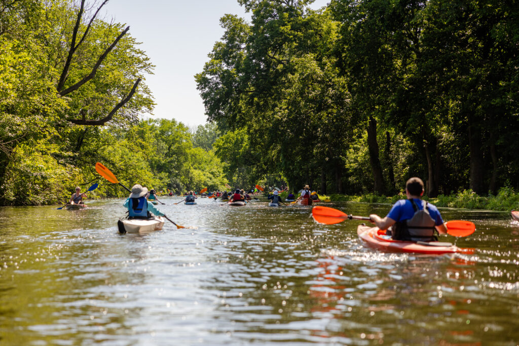
NOTE: The canal can be paddled even during periods of unfavorably low or moderately-high water levels on the river, because it self-levels and does not have a significant current. It can be accessed from docks at Lock 60, at the opposite end of the canal near Longford Park, and at the outfitter next to Fitzwater Station on Walnut Street in Port Providence.
Download a PDF map of “The Lock 60 Loop.”
Map excerpt from “A Paddler’s Guide to the Schuylkill River Water Trail“